


NATO Defence Innovation Accelerator For The North Atlantic (DIANA) Programme Cohort

TERN’s patented Independently Derived Positioning System (IDPS™) delivers resilient, always-available navigation through software, not satellites, signals, or spectrum, earning TIME’s Best Inventions of 2025, AutoTech’s Navigation Technology Innovation of the Year, a CES Innovation Award and selection by NATO DIANA and the U.S. Army xTech Overwatch Competition.


Why IDPS™?
TERN Team
Forged from life-or-death necessity in contested environments, former special operators partnered with AI innovators to create a solution that doesn’t just improve navigation; it redefines it.

How TERN’s IDPS™ works
IDPS™ maintains real-time positioning accuracy without satellite or signal using three key components to reliably power native vehicle navigation systems and third party turn-by-turn applications.
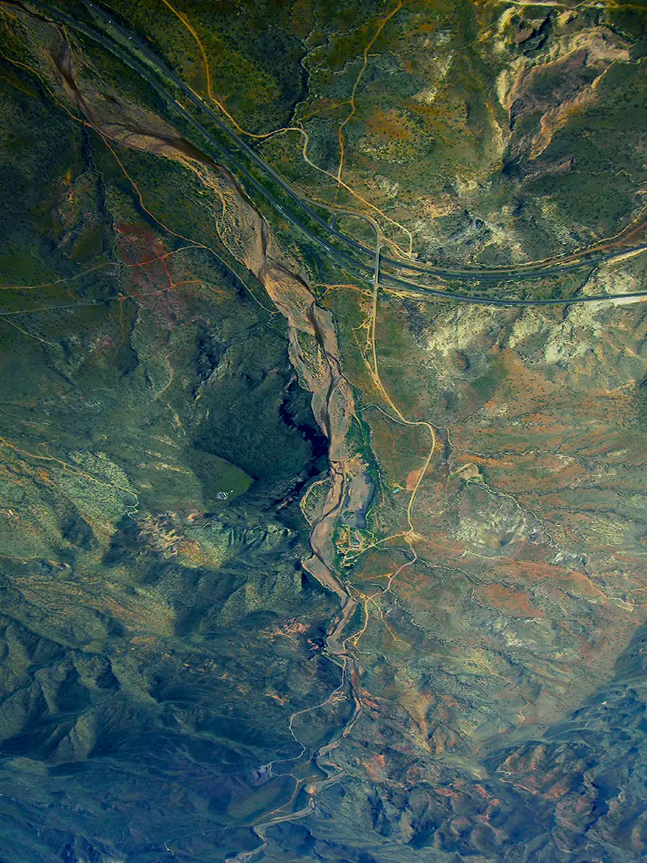
Base maps
Vehicle sensors
Patented AI


Explore IDPS™ applications
TERN’s IDPS™ makes vehicles smarter by delivering continuous, accurate positioning using existing vehicle sensors, digital maps, and proprietary AI with no signal, no satellites, no hardware redesign. A software-only solution, IDPS™ deploys quickly, continuously learns, and powers reliable navigation through tunnels, cities, and remote terrain, future-proofing platforms, advancing autonomy, and delivers a driver experience that sets brands apart.
For last-mile, autonomous, and on-demand delivery services, navigation can’t fail where GPS often does: dense cities, parking structures, tunnels, and remote roads. TERN’s IDPS™ delivers continuous, precise positioning by powering existing navigational systems. It ensures accurate routing, fewer delays, and operational continuity, making it a critical enabler for the future of automated and scalable delivery networks.
In critical response scenarios, navigation must work everywhere, regardless of signal. TERN’s IDPS™ ensures fire, EMS, police, and disaster response teams maintain accurate positioning through tunnels, urban canyons, remote locations, and during infrastructure outages, enabling faster response times, safer routing, and continuity when every second counts.
From waste collection and recycling to forestry and compost operations, TERN’s IDPS™ delivers precise, reliable navigation in rural and even unmapped areas. By eliminating routing errors and signal dropouts, IDPS™ helps reduce emissions, cut fuel waste, and improve fleet efficiency without added infrastructure or satellite dependence. Beyond sustainability targets, better routing means less disruption to sensitive environments, safer operations in the field, and smarter stewardship of the communities these services protect.
TERN’s IDPS™ delivers uninterrupted, high-accuracy navigation, real-time tracking, and robust asset management without satellites. By integrating with existing fleet systems, it provides live vehicle locations, trip history, and rich performance data to optimize routing, monitor safety, and streamline maintenance. The result is lower costs, improved efficiency, increased sustainability and better asset protection, ensuring fleets stay on schedule and fully visible, even in GPS-challenged environments
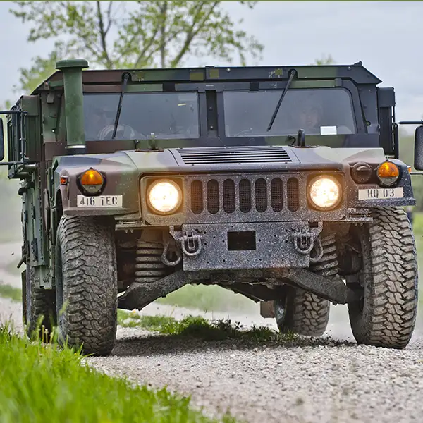
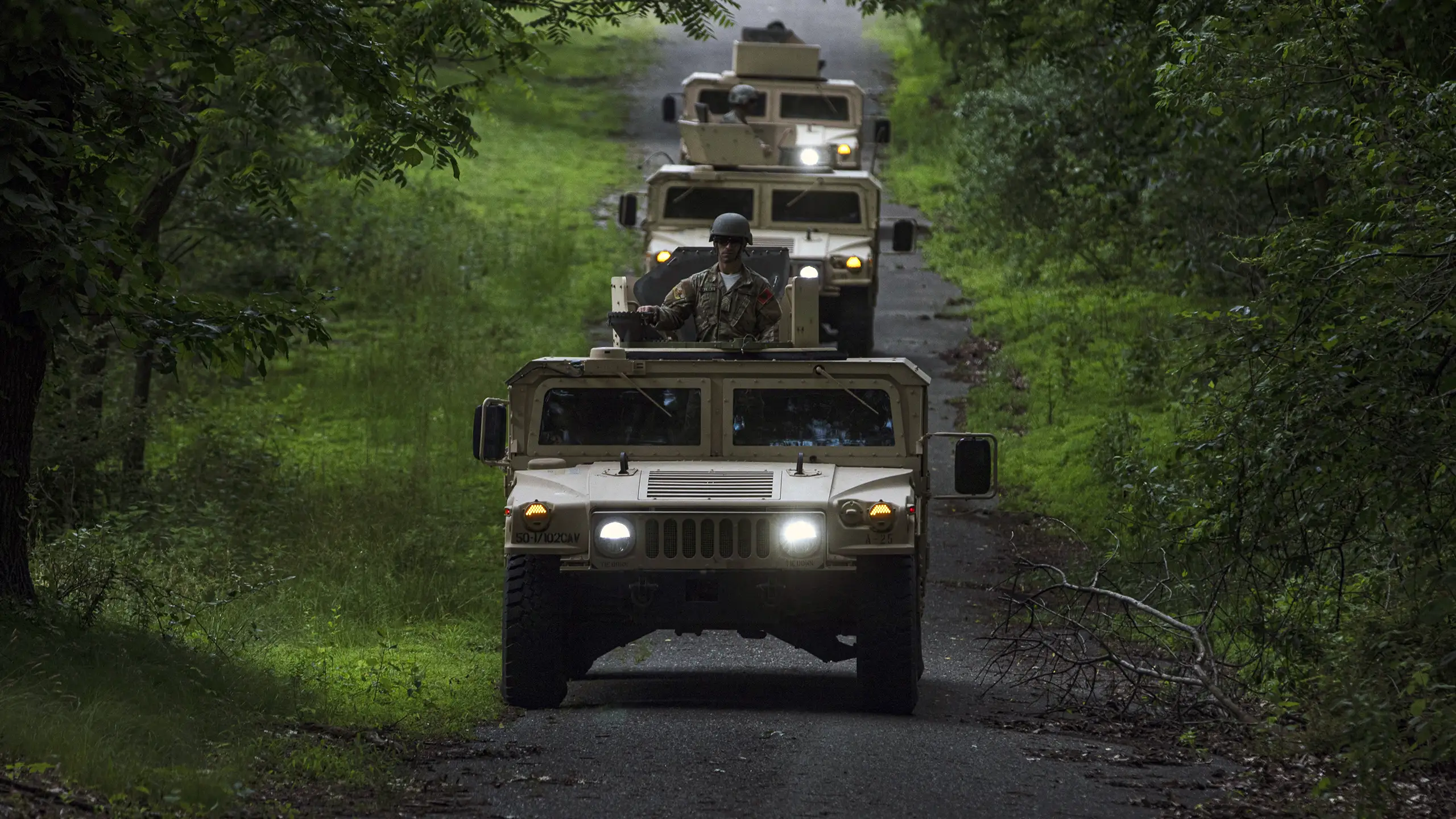
Proven in combat scenarios and validated by the U.S. Department of Transportation, IDPS™ ensures uninterrupted situational awareness in contested terrain, enabling secure mobility, resilient comms, and next-generation mission success. A finalist in the U.S. Army’s xTechOverwatch competition and tested on JLTV’s, TERN is redefining how defense navigates.
Care for a test drive?
Reach out to demo IDPS™ or get more information.
TERN News
CES Wasn’t Our Stage. The Road Was.
Back-to-Back Government Wins: TERN Selected for NATO DIANA Defense Innovation Program

America needs GPS backup this holiday weekend — and beyond

TERN Selected As A Winner of the U.S. Army’s Highly Competitive xTechOverwatch Program From Over 600, After Hands-On Solider Evaluation

TERN selected as one of TIME’s Best Inventions of 2025
TERN Secures $7.5M Seed Extension

TERN Careers