


31
The number of free satellites GPS depends on
Source: gps.gov
Tern’s patented and award-winning Independently Derived Positioning System (IDPS™) is where the rubber meets the road. Applying intelligence to existing 3D motion data from vehicles, along with information from base maps, results in the most refined navigation experience yet. IDPS™ is the future of navigation.

IDPS™ can stand alone or be configured to power a location manager and integrate with widely used applications such as Google Maps, Waze, OSM, ESRI, ArcGIS and Apple Maps.

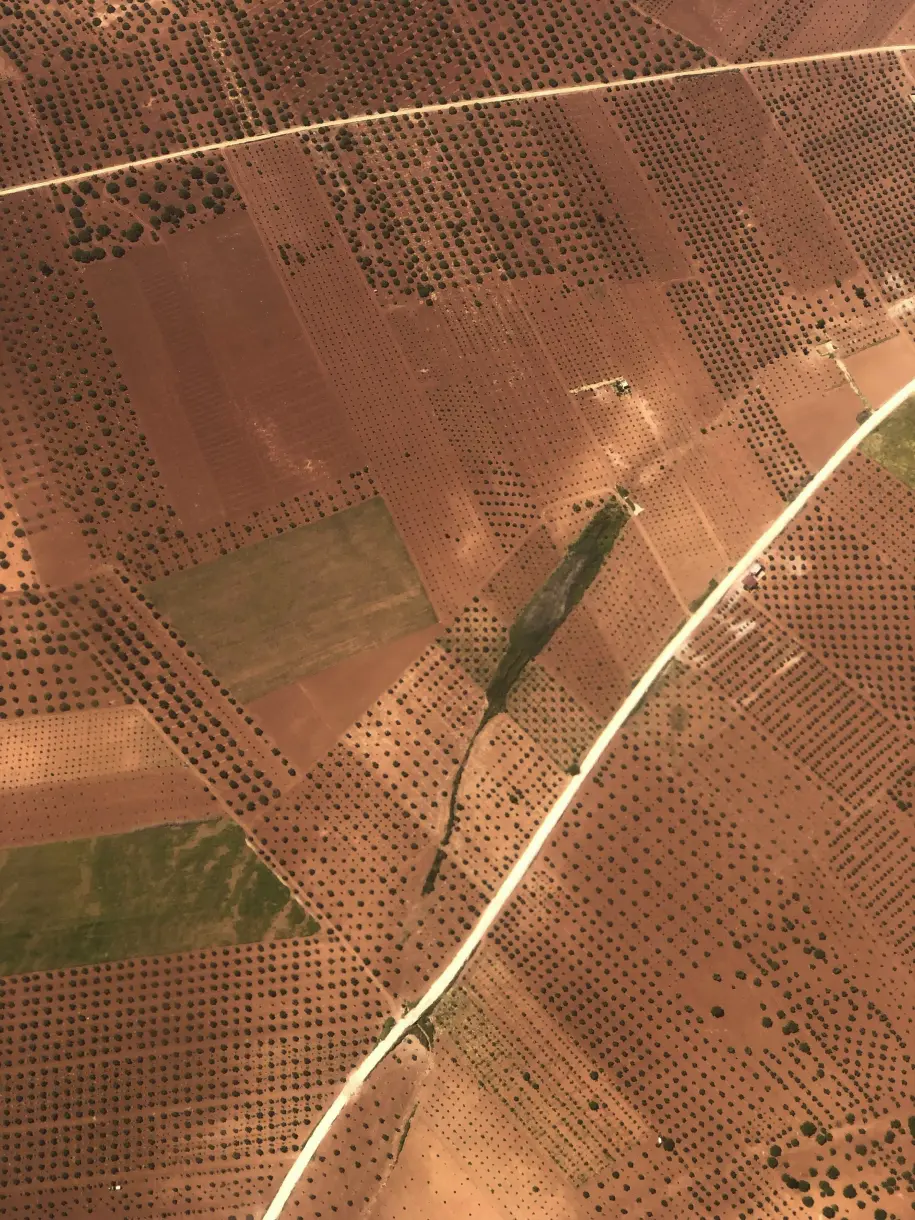
Modern vehicles are equipped with numerous sensors to track speed, nearby objects or people, blind spots, temperature, and more. Tern leverages the 3D motion data from these sensors, eliminating the need for additional expensive hardware, such as LEO satellites or terrestrial beacons.

Tern’s advanced adaptive weighting algorithms measure and interpret the data from vehicle sensors and recalibrates those inputs in real-time, applied against the base maps to increase accuracy. Tern AI is able to determine a driver’s location as they drive from their data and patterns, without a satellite — a groundbreaking achievement impossible with GPS.


Provided to satisfy the virtual patent marking provisions of the America Invents Act under 35 U.S.C. § 287(a). The following list of Tern products may not be all inclusive, and other Tern products not listed here may be protected by one or more patents.


Tern powers a smooth, safe drive from point A to point B, and all the pit stops in between. IDPS™ works with vehicles’ existing base maps and sensors, improving navigation and location services that help users find food, rides, weather info, and first dates.
No matter how far off the grid professional drivers need to travel for package delivery, emergency response, or cross-country transportation, Tern can get them there.
Tern ensures positioning, navigation, and timing (PNT) information is available even when traditional communications networks are down, and is more secure than satellite-geolocation when it comes to jamming, spoofing, and hacking—all known threats to privacy and national security.
Team